
One can drive from Fairbanks to Prudhoe Bay and back in four days, but that is almost all road driving. Plan some extra time to take a hike, and encounter the area more than simply through your vehicle window. Illustration © www.AlaskaPhotoGraphics.com
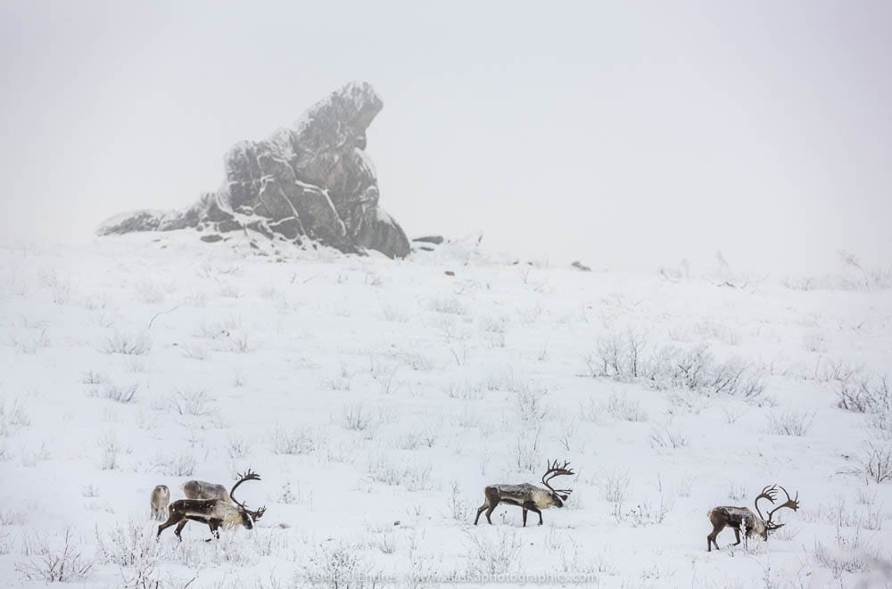
Bull caribou in foggy winter weather on Finger mountain, with Finger rock in the background, Alaska.
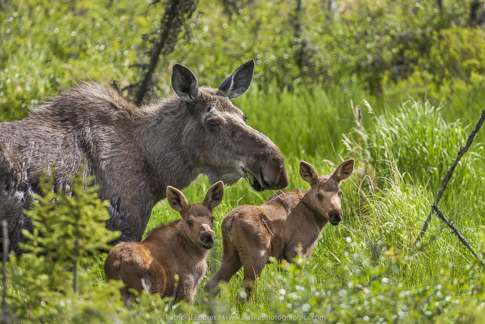
Cow moose and twin calves feed on spring grasses, Arctic, Alaska.
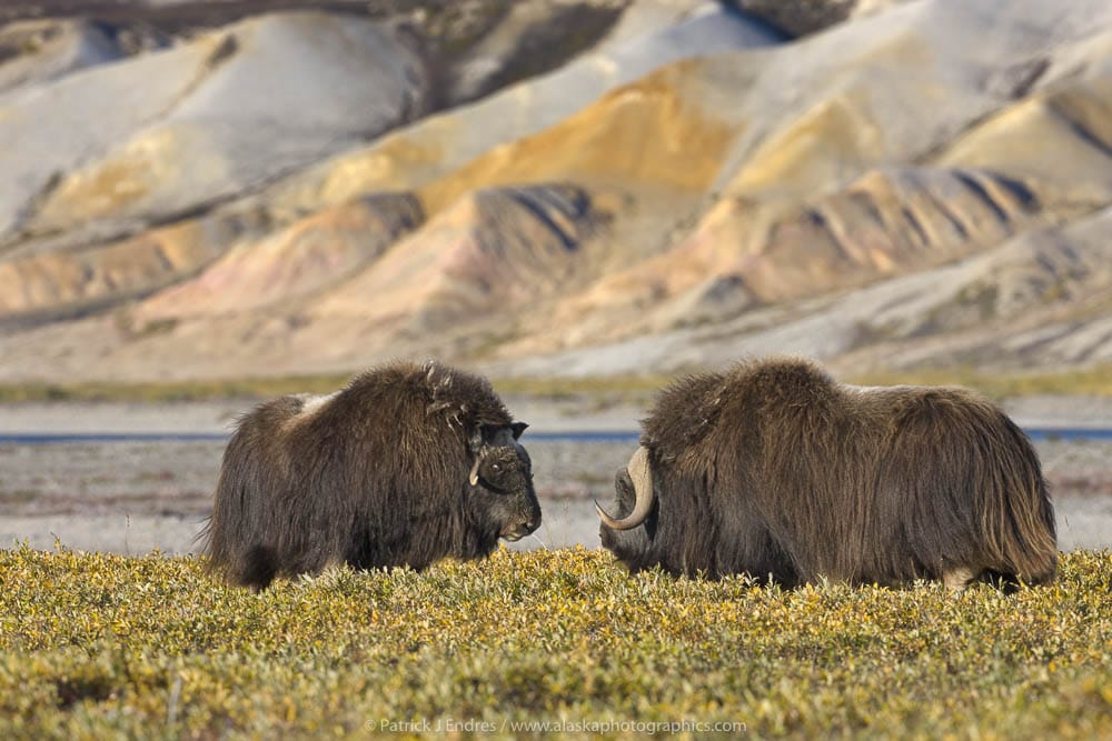
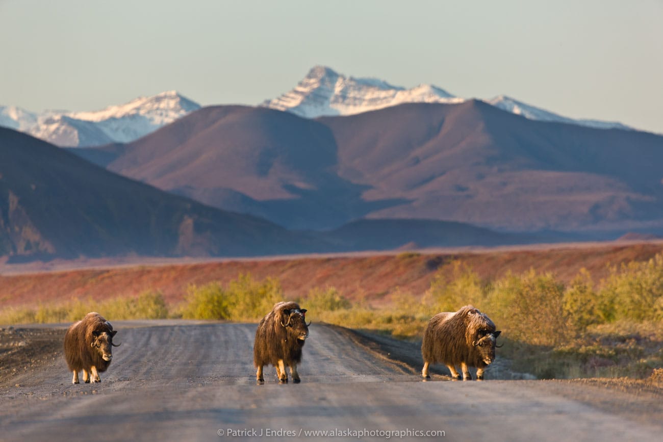
Muskox along the Sagavanirktok river and the Franklin Bluffs on the Arctic Coastal Plains, Arctic, Alaska.
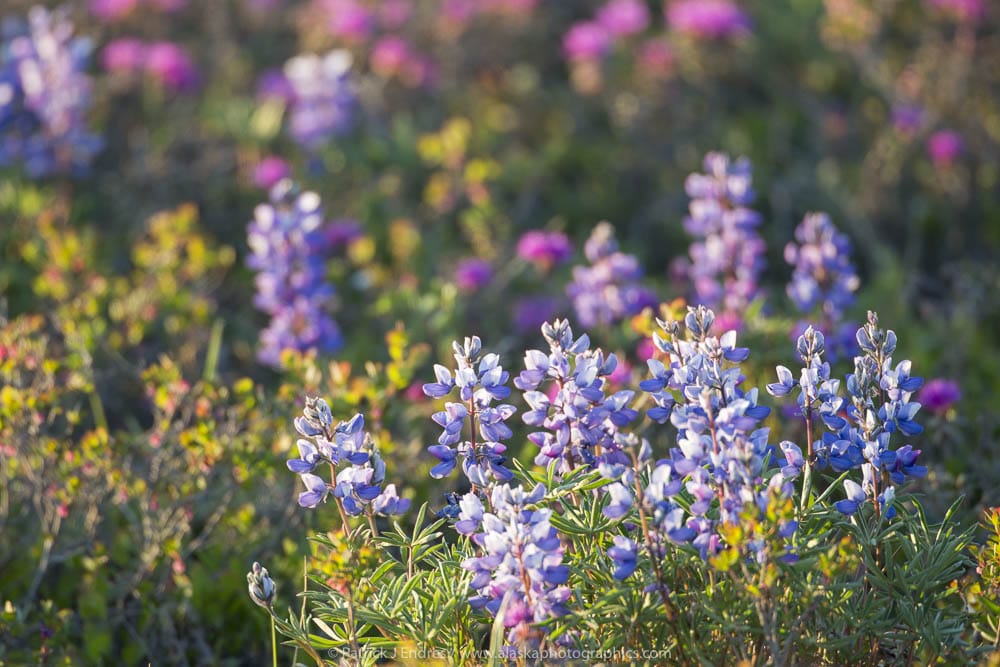
Pink and purple blossoms of the Lapland rosebay and lupine blossom on the arctic tundra, Alaska.
While there is much to see from the car window, a slightly more intimate encounter with the Arctic wilderness will yield great rewards. A brief walk across the tundra will reveal vast carpets of wildflowers, and short hikes along a stream allow you to stretch the legs and view wildlife. Our guests repeatedly tell us that they regret not having more time to explore and enjoy the area.
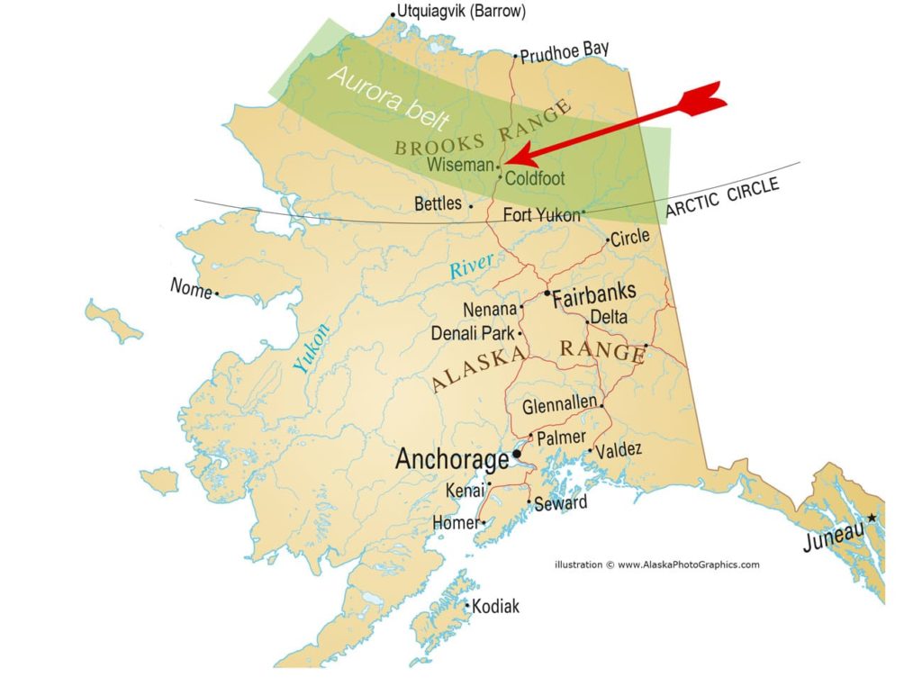
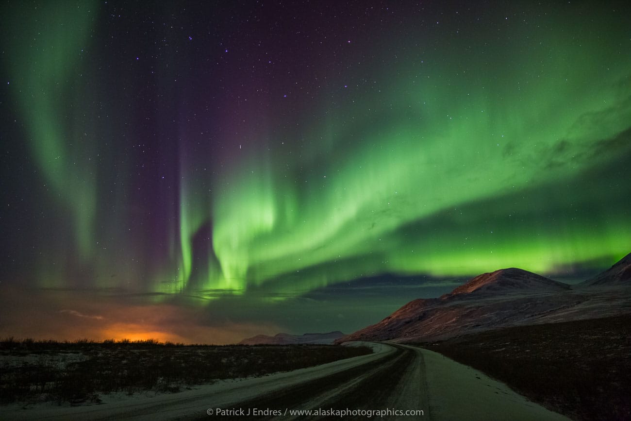
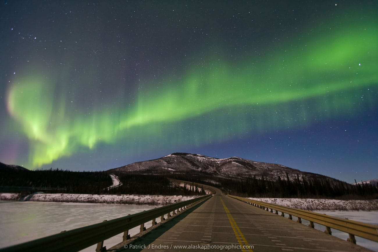
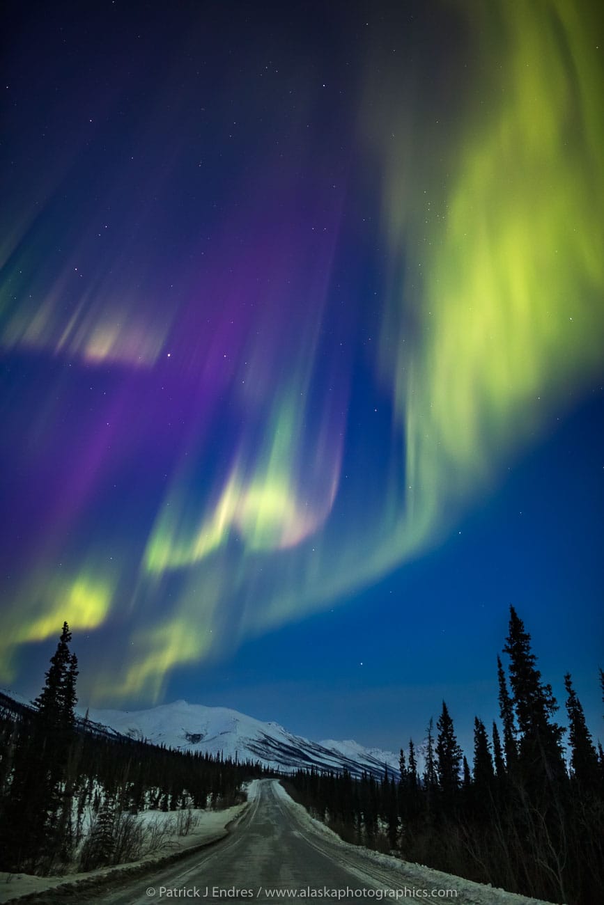
For this reason, we suggest that you plan an extra day or so to enjoy the Brooks Range and Koyukuk River valley near Wiseman. This area offers great opportunities to relax and explore, go for a nature walk or hike, float the Koyukuk river, experience the aurora borealis, ski, snowshoe, etc.
We are happy to answer your questions, give suggestions/tips, and help plan your stay in the Arctic.
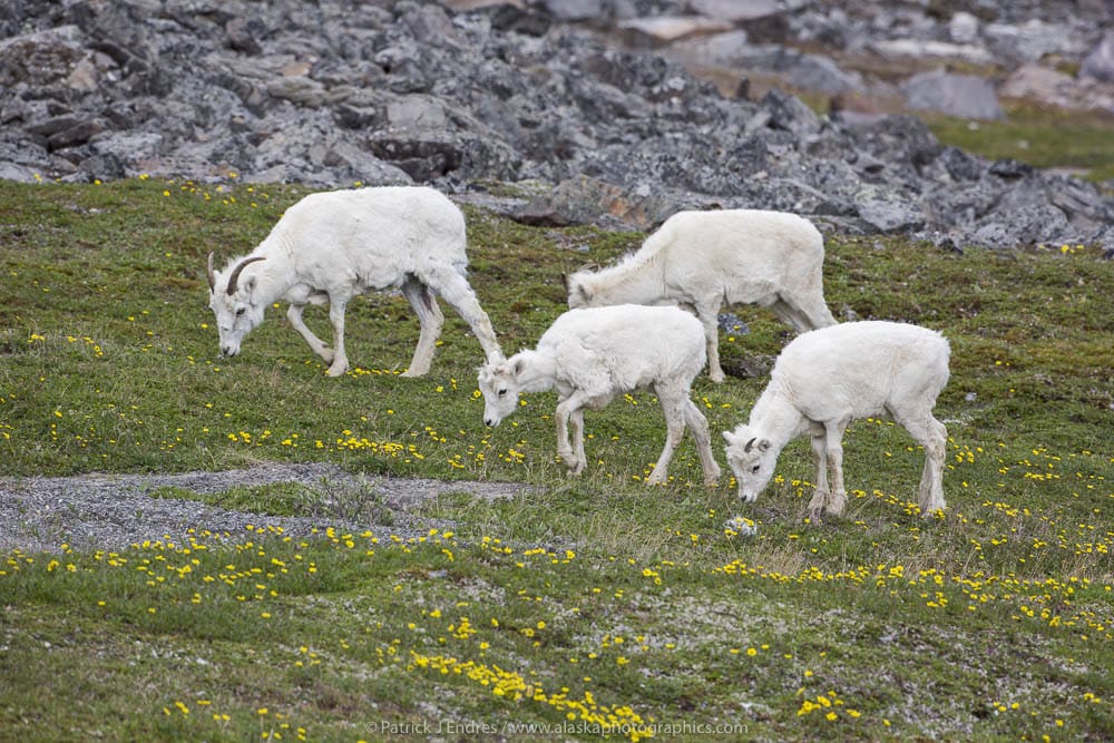
Dall sheep ewes graze on the tundra vegetation, decorated by ross avens, in the Brooks Range, Alaska.
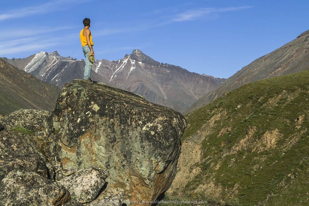
Hiking in the Brooks Range, Arctic Alaska
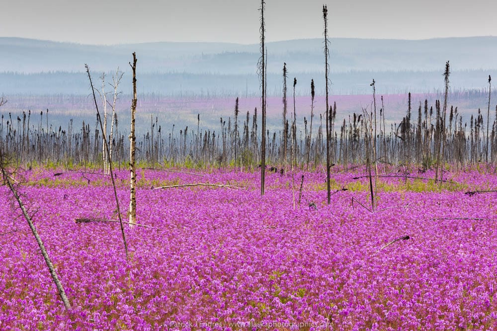
Newly recolonized fireweed in summer bloom along the Dalton Highway, the result of a recent forest fire.
- Check road conditions before departing: Alaska Statewide Driving Conditions (Especially for winter travel).
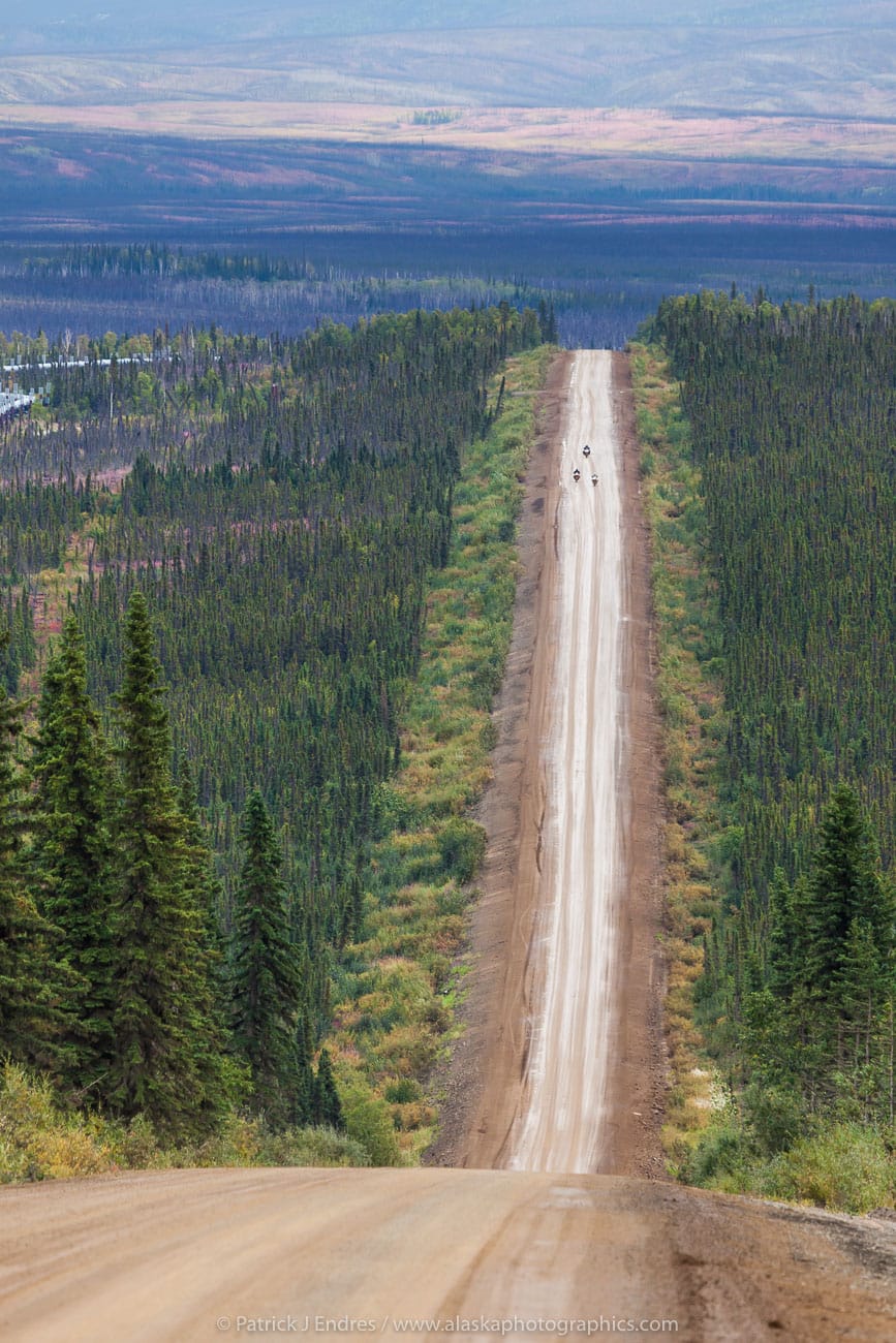
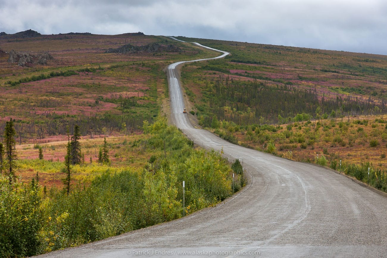
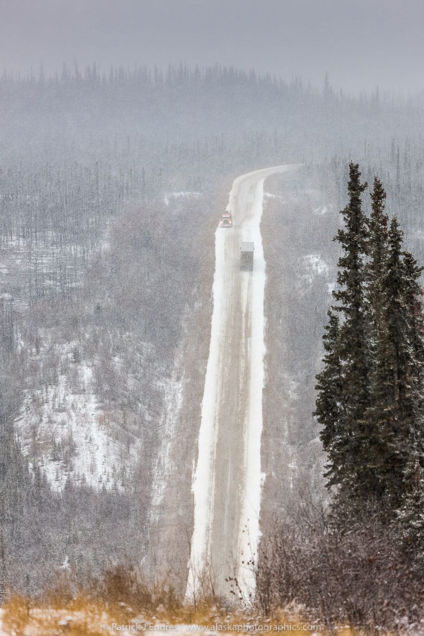
Some sections of the James Dalton Highway are paved, and some areas are gravel. Be aware of changing road conditions.
- Check the extended weather forecast via the National Weather Service Forecast.
- The Alaska FAA Webcams offer a visual reference to weather in various locations around the state. The Yukon River Bridge, Coldfoot Airport, and Chandalar Shelf are relative webcams for the Dalton Highway area.
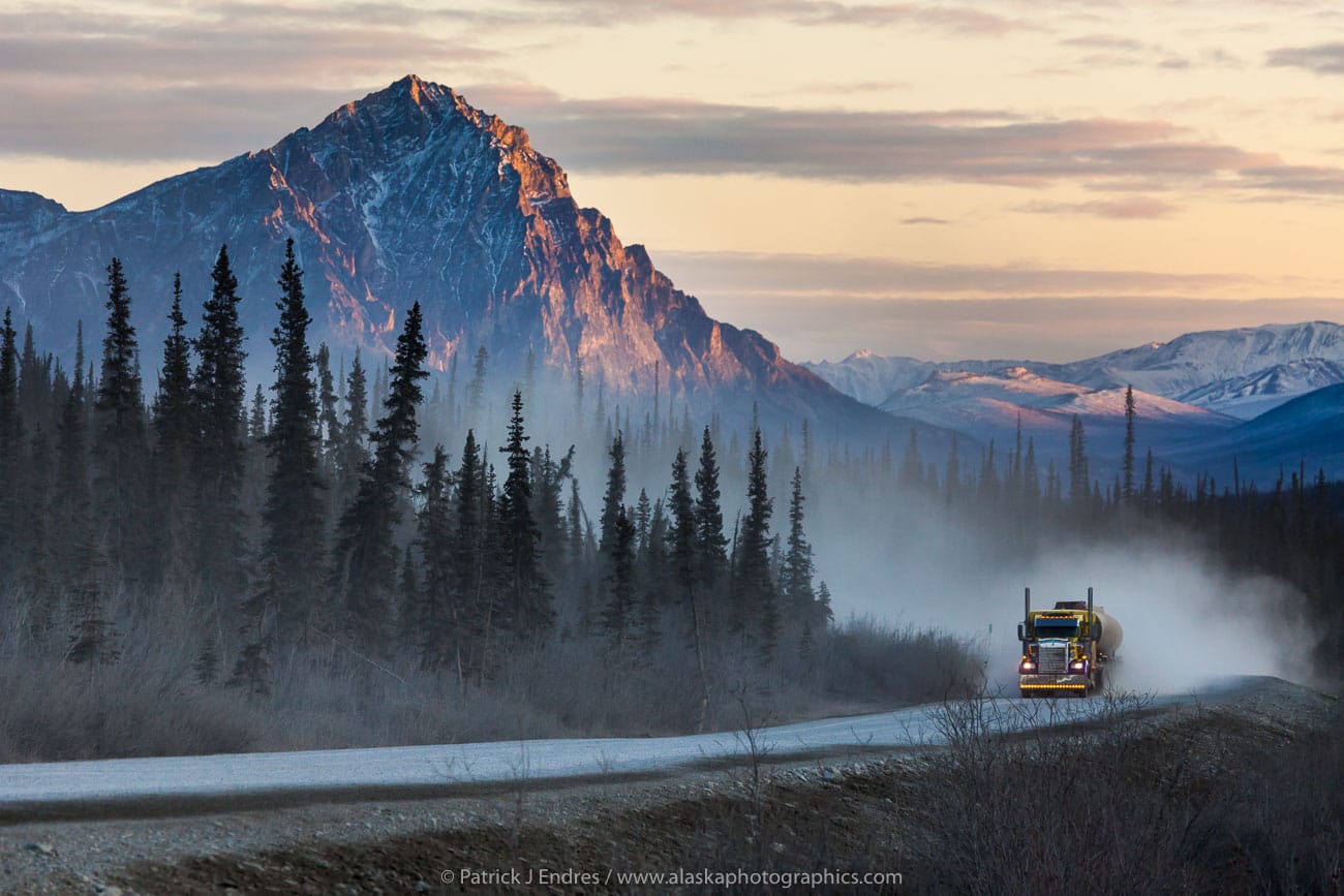
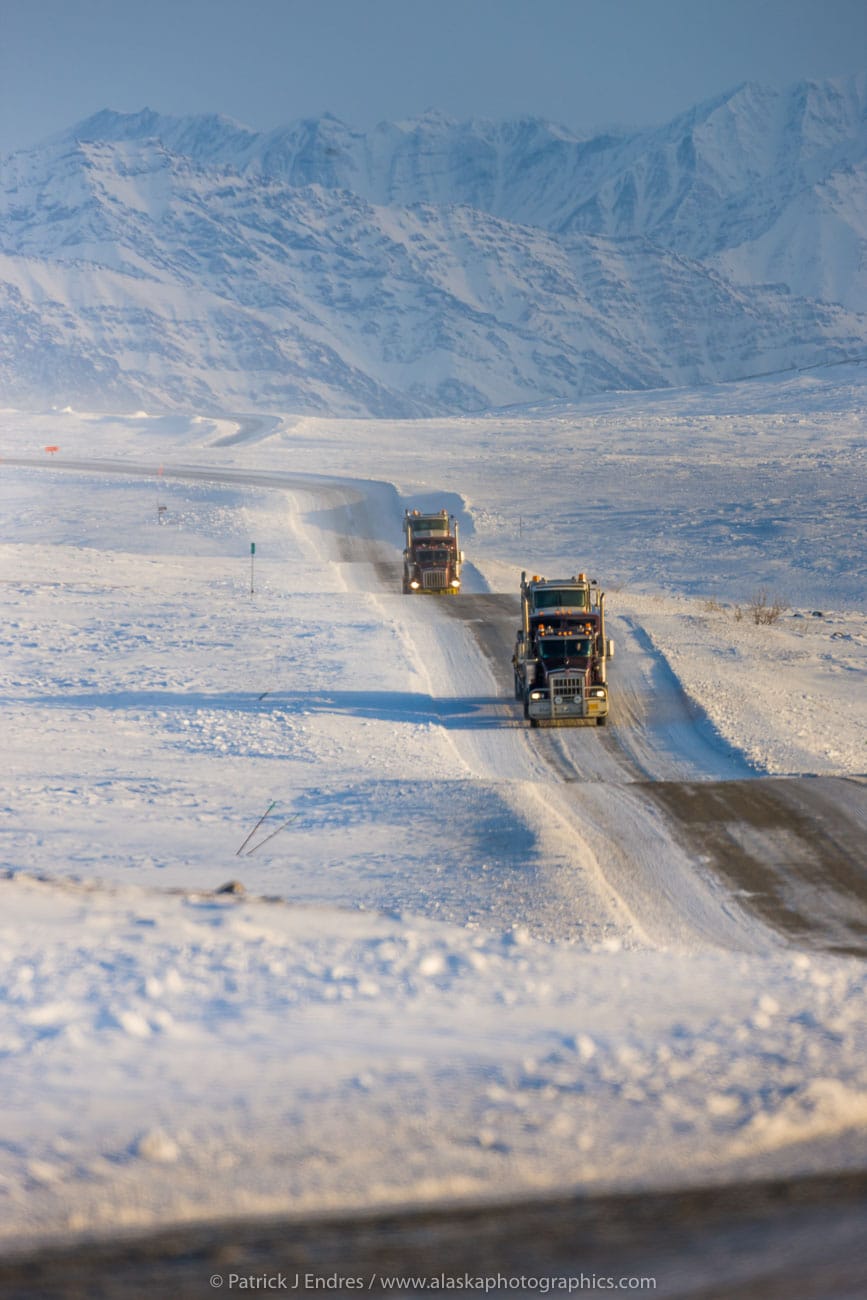
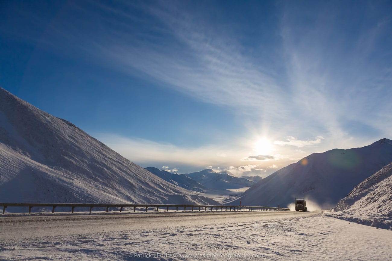
- The Dalton Highway was built to construct the pipeline and transport supplies north to Prudhoe Bay. Truckers still use the road. Generally, when meeting a semi-tractor trailer, slow down, put your right turn signal on and pull just slightly over. In response, they will generally slow down. This helps all the way around to minimize a chipped windshield from flying gravel.
- Make sure your car rental company allows travel on the Dalton Highway. A few companies are specializing in renting gravel roads:
- Fairbanks: Alaska Auto Rentals, Alaska 4×4 Vehicle Rentals, GoNorth (winter: make sure your rental is equipped with winter tires or studded tires and has no restrictions on how far north you allowed to travel)
- Anchorage: Alaska 4×4 Vehicle Rentals
- Fly – Drive: Alaska 4×4 offers one-way rentals from Anchorage/Fairbanks to Deadhorse
- Another option might be to rent privately through turo.com.
- If you want to err on the safe side, you can add extra insurance with worldwideinsure.com.
- Bring food and water for the drive.
- Summer: bring mosquito repellent and warm clothes (June-August: record low 19F, record high 87F)
- Winter: bring lots of warm clothes! (November-March: record low -65F, record high 46F)
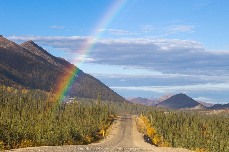
Rainbow over the Dalton highway, Arctic, Alaska.
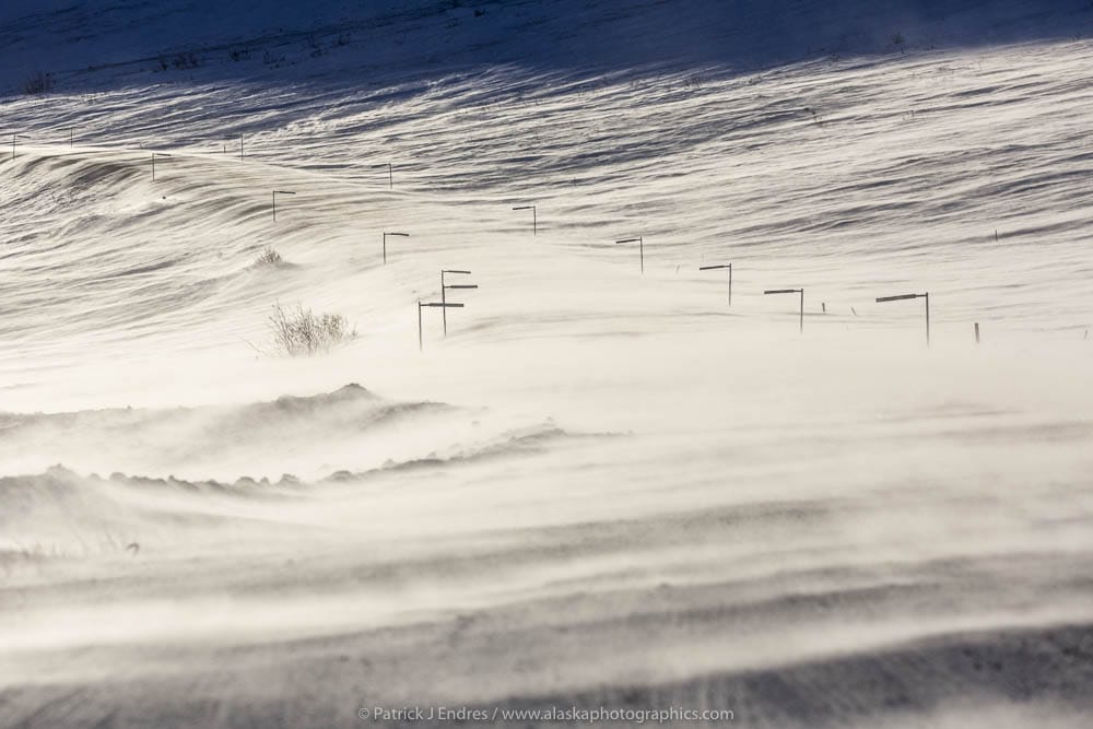
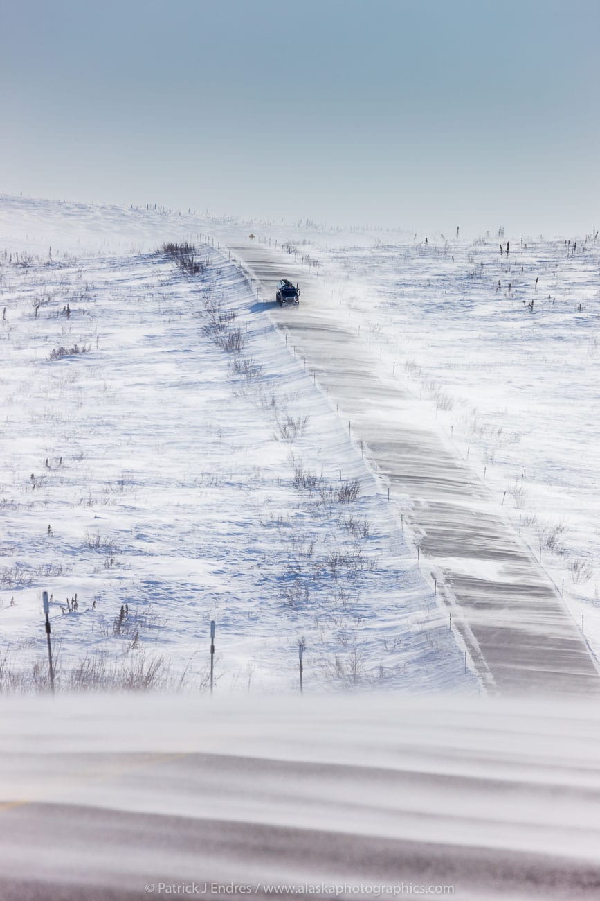
Blowing snow on the Dalton Highway
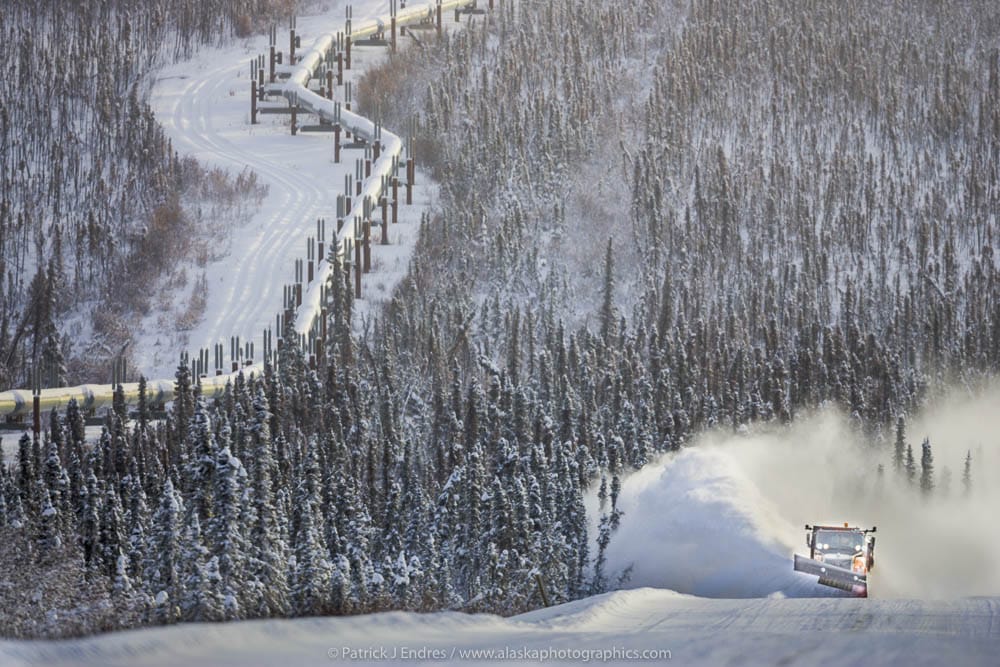
Snow plow clears snow from the James Dalton Highway (Haul Road).
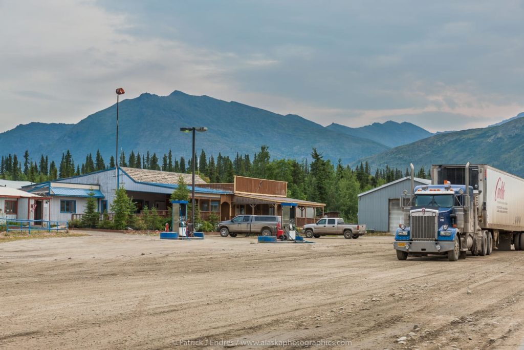
Coldfoot camp truck stop offers fuel along the James Dalton Highway.
There are no stores, services, or restaurants in Wiseman. Coldfoot truck stop has a cafe and fuel service. Plan and purchase food in Fairbanks. Our cabins have kitchenettes, and if you enjoy cooking, bring a few groceries with you.
Fuel and food along the way:
- Hilltop Truckstop (10 miles from Fairbanks) fuel and food (winter/summer)
- The Yukon River Camp (140 miles from Fairbanks) fuel and food (winter/summer)
- Coldfoot Truckstop (260 miles from Fairbanks) fuel and food (winter/summer)
- Prudhoe Bay/Deadhorse (500 miles from Fairbanks) fuel and food (winter/summer) For the summer traveler, keep in mind that the sun does not set in Prudhoe Bay from May 20th to July 22nd!

Generally, the Dalton Highway conditions are good, but it is wise to check the road report during heavy rain or snow or road construction.
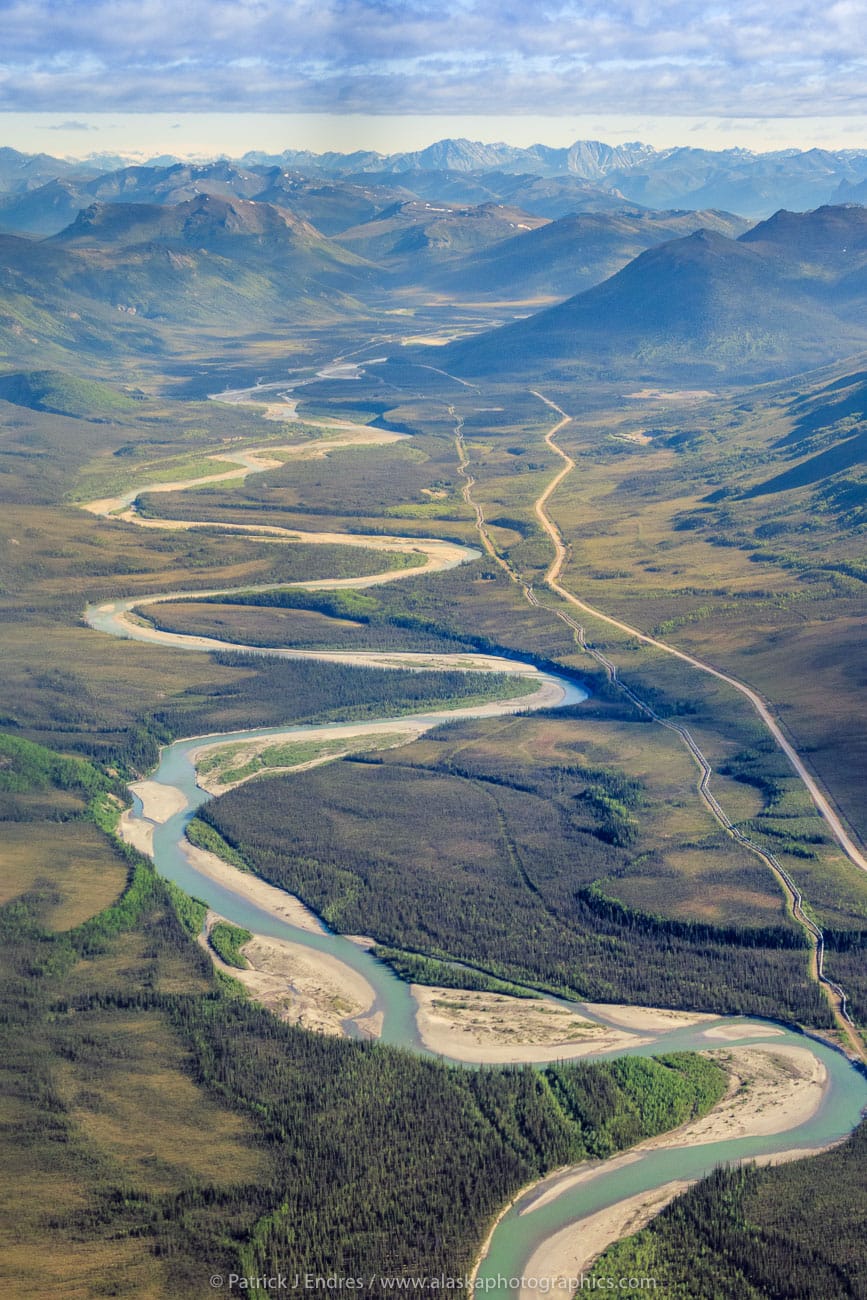
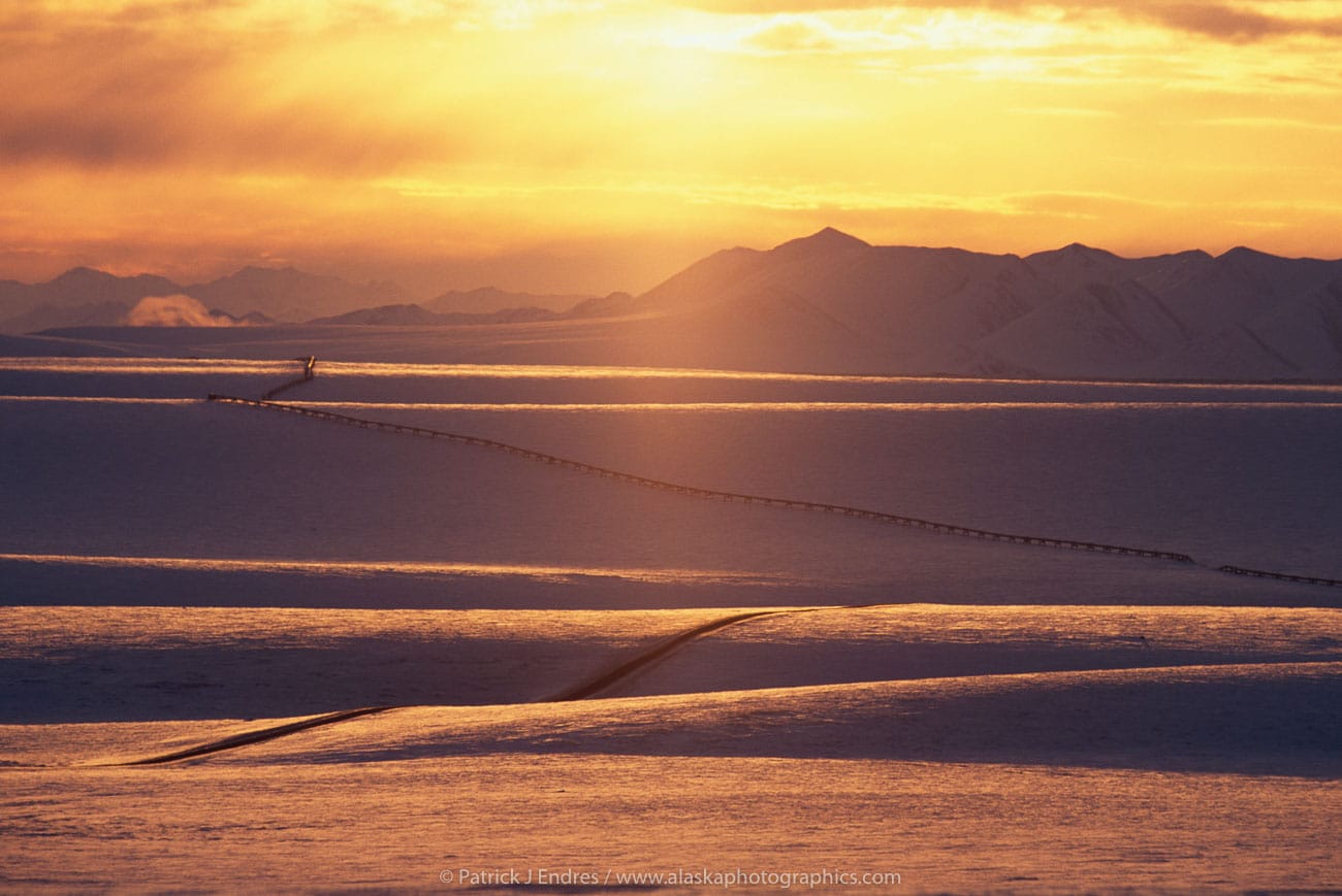
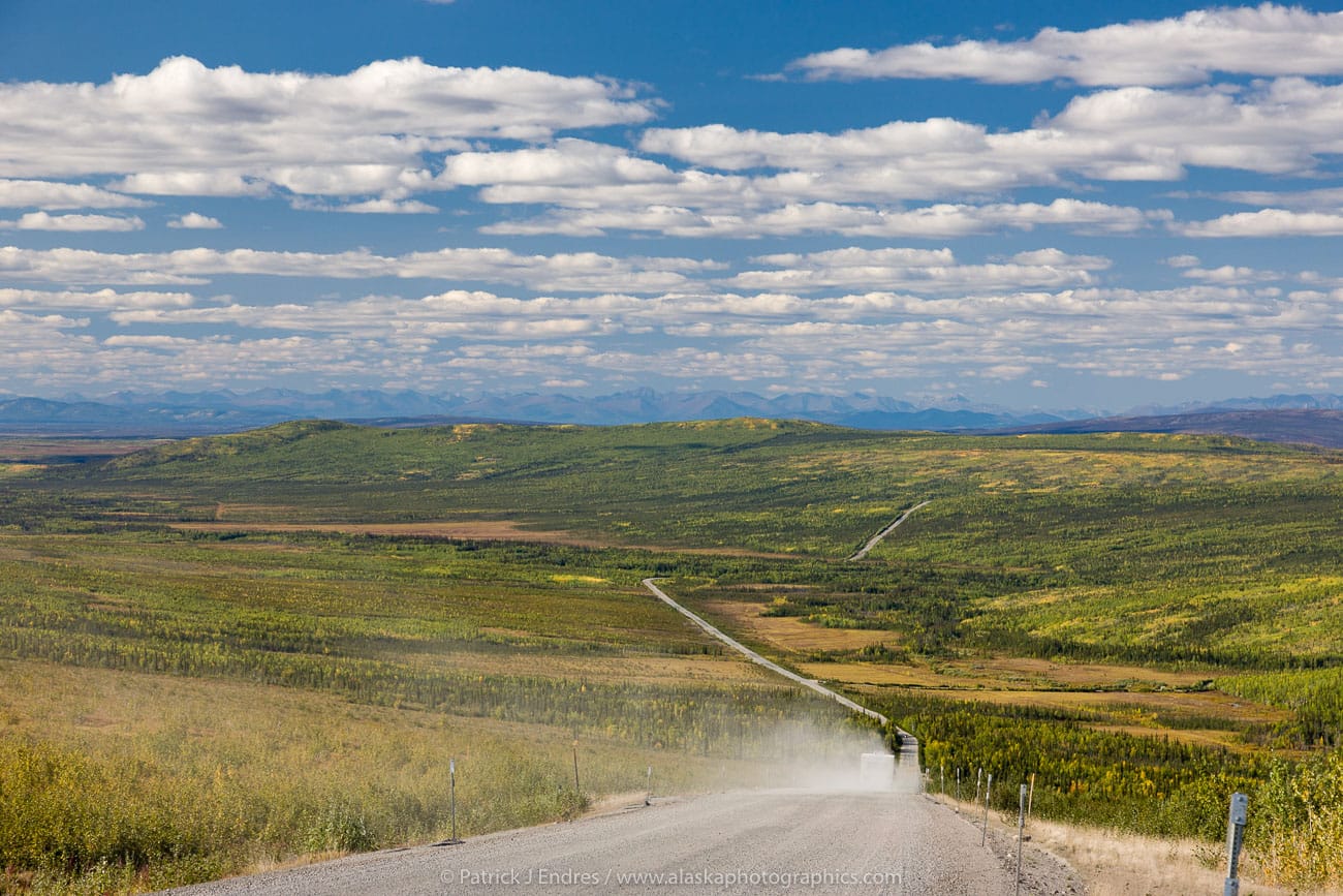
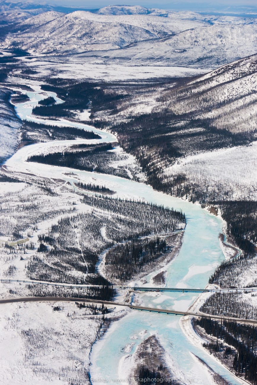
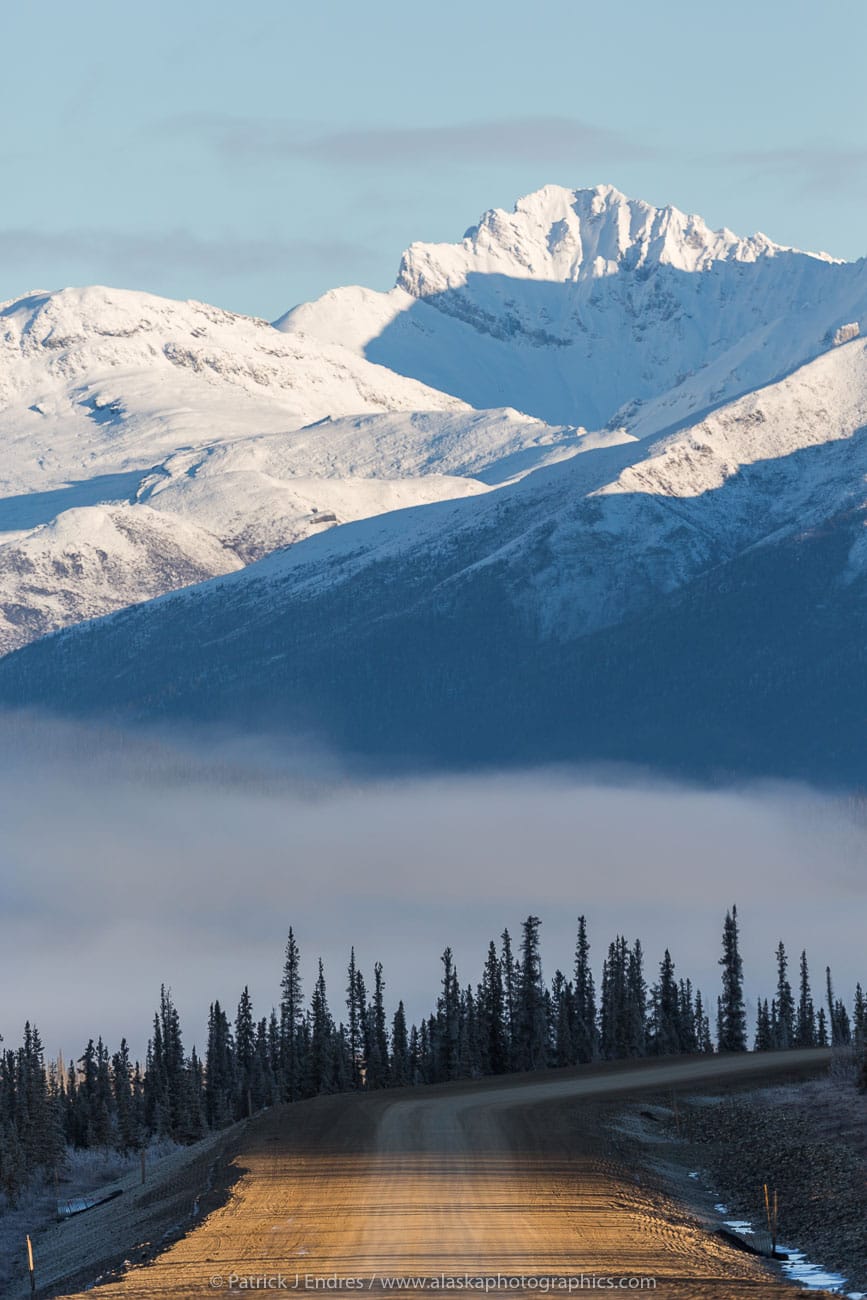
From Fairbanks, the Elliot Highway takes you about 73 miles north to the start of the Dalton Highway, traversing boreal forest hills of birch and aspen trees and tundra valleys of streams and small rivers. You will cross the mighty Yukon River and pass through the valley to Finger Mountain, a treeless high point with short walkways and kiosks to learn about the region’s geology and alpine tundra. The Arctic Circle turnout has bathrooms and a picnic area. A little further north takes you up and over Gobbler’s Knob and down into the Koyukuk river valley to the Coldfoot Truck Stop, 255 miles north of Fairbanks.
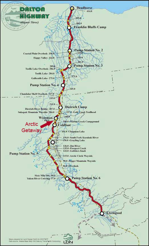
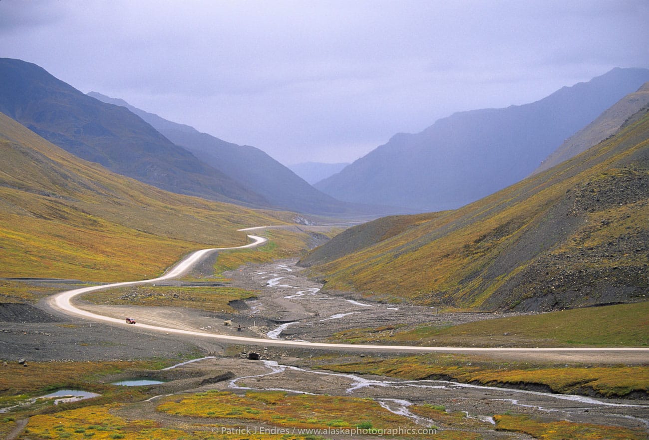
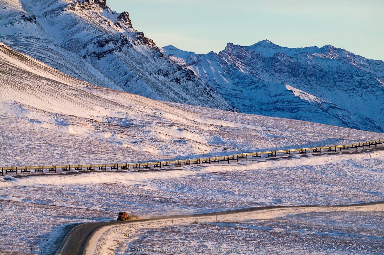
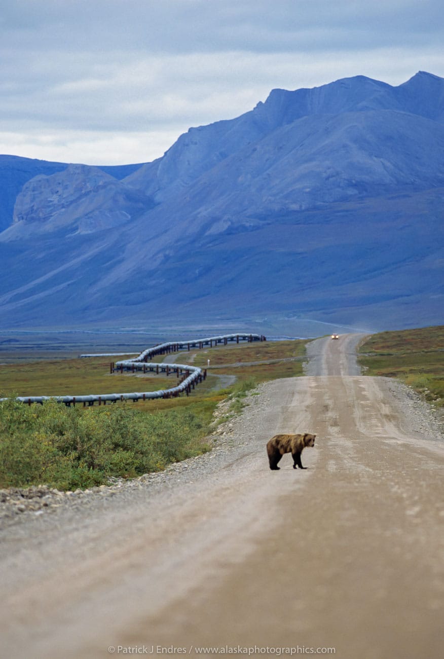
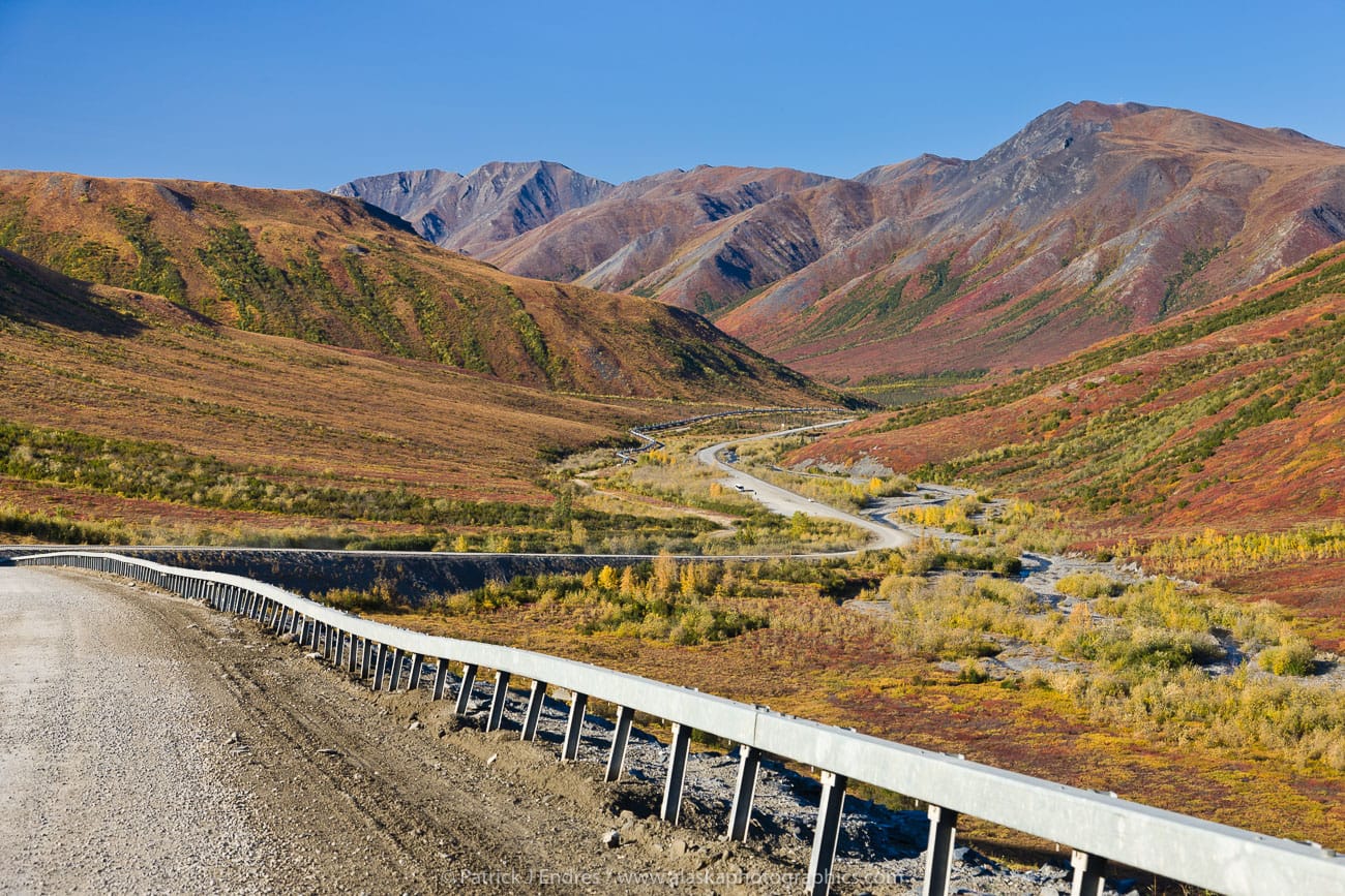
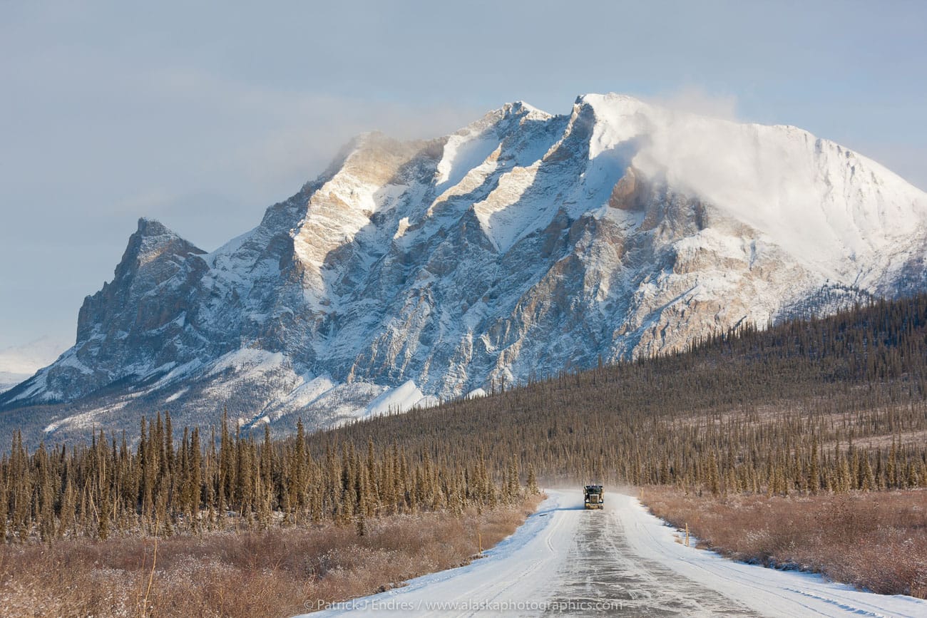
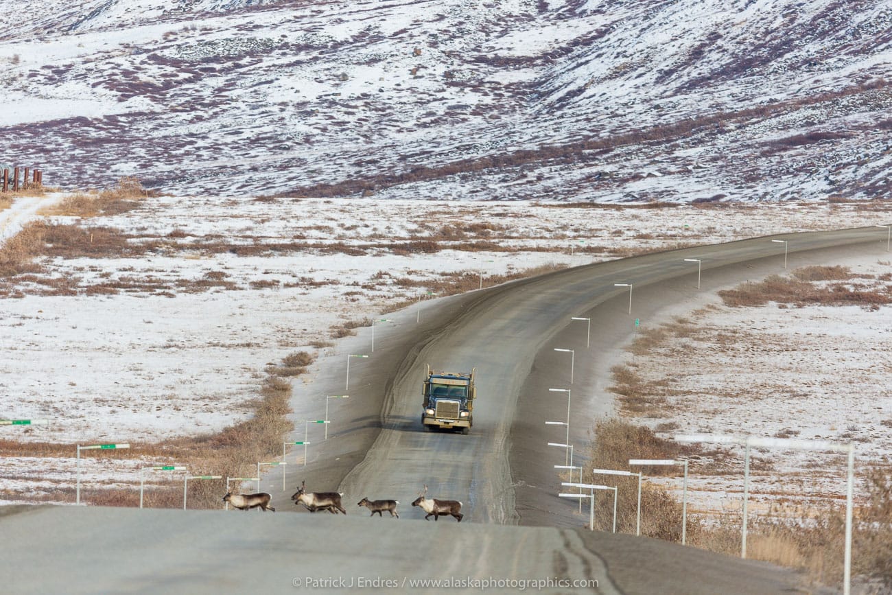
Our Log Cabin Bed and Breakfast is located in Wiseman, approximately 17 miles north of Coldfoot. This is nearly the halfway point to the Arctic Ocean. Our cabins are situated at the base of the Brooks Mountain Range. The grandest arctic scenery is ascribed to the region between Coldfoot and the Sagavanirktok River, about 140 miles to the North. Along this section, you pass over Alaska’s highest roadway summit, Atigun pass (4,800 feet) through the Brooks Range, 65 miles from Wiseman. You leave the boreal forest behind and enter the treeless regions of the high arctic. Watch for wolves, grizzly bears, caribou and Dall sheep. The undulating hills of the Arctic become apparent as you leave the mountains. Great vistas of high arctic tundra are found all the way to Prudhoe Bay. Watch for Muskox along the road from Happy Valley to the Franklin Bluffs.
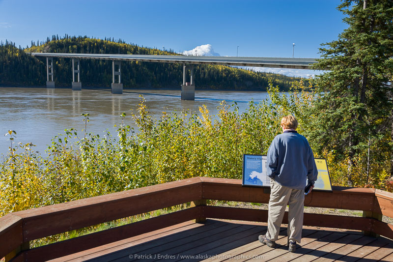
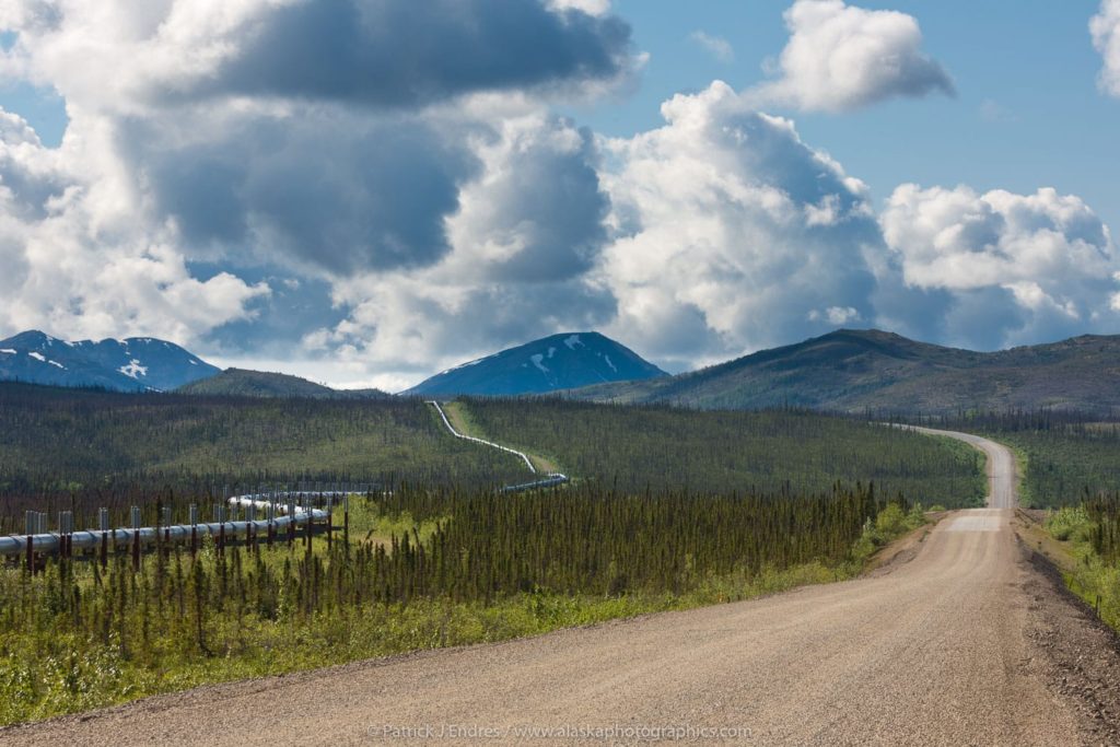
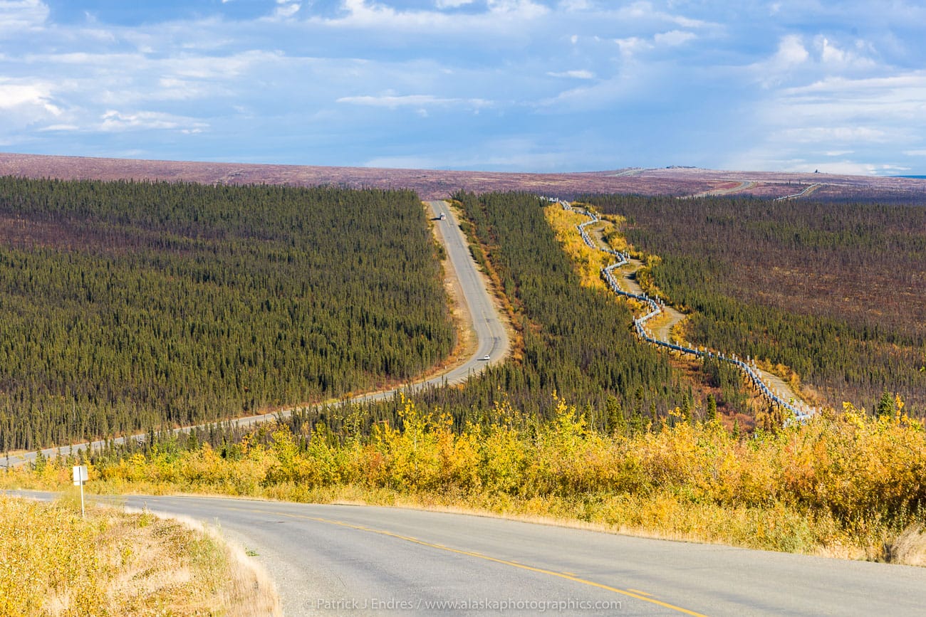
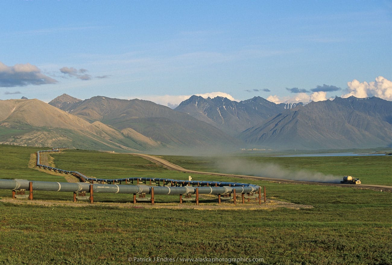
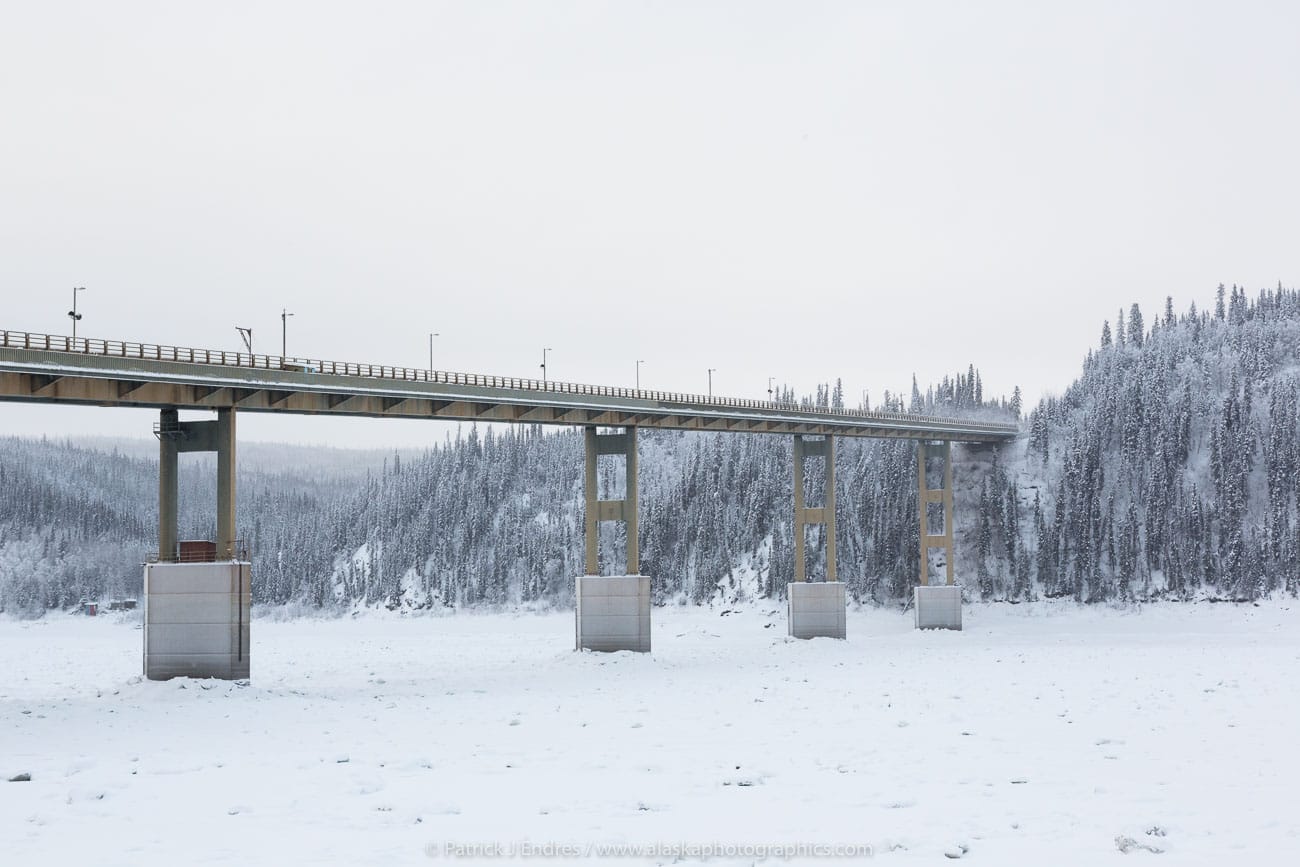
Trans Alaska Oil Pipeline crosses the Yukon River via the Dalton Highway, Interior, Alaska.
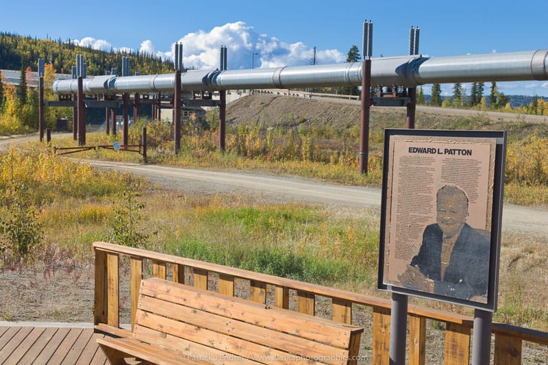
The only way to access the Arctic by vehicle is along the Elliot Highway and James Dalton Highway, the latter is a service road built in the1970s for the construction of the Trans Alaska Oil Pipeline. It was opened for public use in 1994 and is recognized as a State Scenic Byway for its spectacular scenery and wildlife. It’s a “long haul” all the way from Fairbanks to the Arctic Ocean in Prudhoe Bay, approximately 500 miles. The road itself is also called the Haul Road, mainly because trucks use it to haul supplies north to the oil fields. The conditions of the highway in general, are pretty good. Some sections are paved, but large sections remain gravel. Large amounts of rain can deteriorate road conditions but the Alaska Department of Transportation maintains the road consistently. Check the road conditions here.